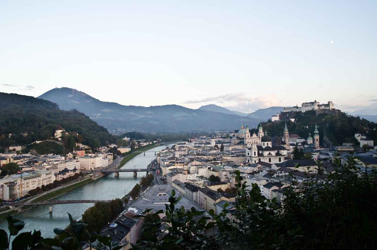
 Salzburg, Österreich. September 30, 2017.
Salzburg, Österreich. September 30, 2017.
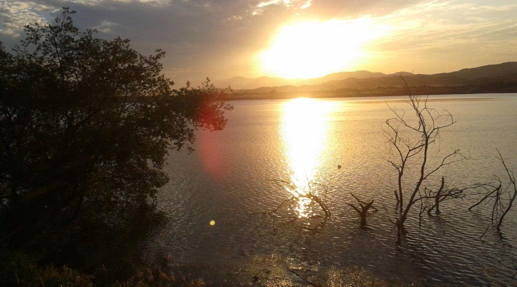
 The Nakdong bike path near Daegu at the end of my third day.
120 km south of seoul near the middle of the country.
daejeon to sejong city (solar bike path )
unification observatory in goseong-gun county south to gopo village in samcheok by bike (east coast)
busan > follow the nakdong river north> cross the middle of the country on the saejae bicycle road to where the han river begins > ride the hangang up to seoul
four rivers trail system (korea joongang daily)
riverside biking trails in korea (pdf)
seoul bicycle website (in korean)